Invisible Stream and Field Margin
Introduction
The photograph on this page of Invisible Stream and Field Margin by Glyn Baker as part of the Geograph project.
The Geograph project started in 2005 with the aim of publishing, organising and preserving representative images for every square kilometre of Great Britain, Ireland and the Isle of Man.

There are currently over 7.5m images from over 14,400 individuals and you can help contribute to the project by visiting https://www.geograph.org.uk
Invisible Stream and Field Margin
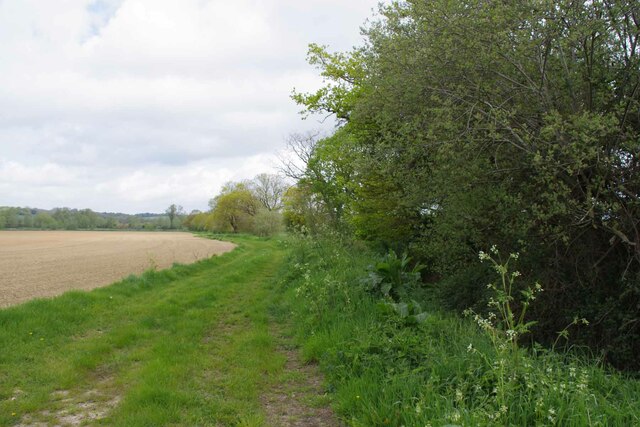
Image: © Glyn Baker Taken: 5 May 2023
There was a definite tinkling of water running down towards the Stour, coming from the hidden ditch under the hedge.
Images are licensed for reuse under creativecommons.org/licenses/by-sa/2.0
Image Location


Leaflet Map data © OpenStreetMap
Latitude
51.964228
Longitude
0.885478