Bassingfield, Nottinghamshire
Introduction
The photograph on this page of Bassingfield, Nottinghamshire by Kate Jewell as part of the Geograph project.
The Geograph project started in 2005 with the aim of publishing, organising and preserving representative images for every square kilometre of Great Britain, Ireland and the Isle of Man.

There are currently over 7.5m images from over 14,400 individuals and you can help contribute to the project by visiting https://www.geograph.org.uk
Bassingfield, Nottinghamshire
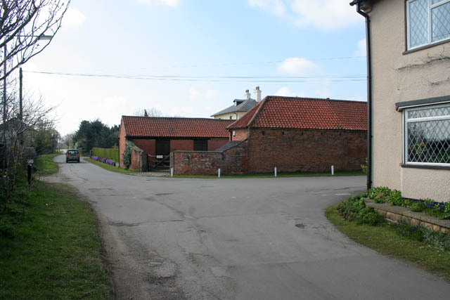
Image: © Kate Jewell Taken: 31 Mar 2008
This is the centre of Bassingfield taken from Nathan's Lane with Bassingfield Lane turning a right angle towards the A52. Holly Farm is on the corner and the view is looking westwards towards Gamston and West Bridgford. Image was taken looking in the opposite direction from a point just about where the road disappears from view in the distance.
Images are licensed for reuse under creativecommons.org/licenses/by-sa/2.0
Image Location
Latitude
52.929469
Longitude
-1.082089