Stoke by Nayland
Introduction
The photograph on this page of Stoke by Nayland by Glyn Baker as part of the Geograph project.
The Geograph project started in 2005 with the aim of publishing, organising and preserving representative images for every square kilometre of Great Britain, Ireland and the Isle of Man.

There are currently over 7.5m images from over 14,400 individuals and you can help contribute to the project by visiting https://www.geograph.org.uk
Stoke by Nayland
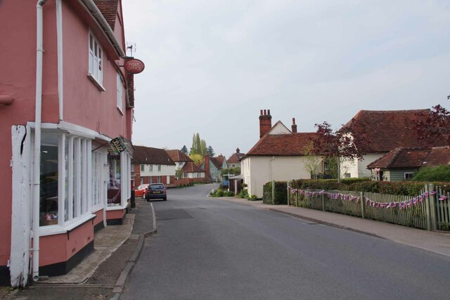
Image: © Glyn Baker Taken: 4 May 2023
Near the junction of Park Street, Church Lane to the left and Polstead Street in front. Note the bunting on the fence ready for the Coronation of CR III.
Images are licensed for reuse under creativecommons.org/licenses/by-sa/2.0
Image Location
Latitude
51.989551
Longitude
0.89439