Brickfield Villas
Introduction
The photograph on this page of Brickfield Villas by Ian Capper as part of the Geograph project.
The Geograph project started in 2005 with the aim of publishing, organising and preserving representative images for every square kilometre of Great Britain, Ireland and the Isle of Man.

There are currently over 7.5m images from over 14,400 individuals and you can help contribute to the project by visiting https://www.geograph.org.uk
Brickfield Villas
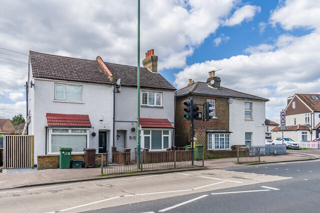
Image: © Ian Capper Taken: 25 Apr 2023
Two pairs of semi-detached cottages in Wrythe Lane, with the farther pair being marked on the 1896 25 inch map and the nearer one being on the 1913 edition. The 1871 6 inch map shows a brick field behind the site.
Images are licensed for reuse under creativecommons.org/licenses/by-sa/2.0
Image Location
Latitude
51.373004
Longitude
-0.175641