Looking down Loudoun Street
Introduction
The photograph on this page of Looking down Loudoun Street by Richard Sutcliffe as part of the Geograph project.
The Geograph project started in 2005 with the aim of publishing, organising and preserving representative images for every square kilometre of Great Britain, Ireland and the Isle of Man.

There are currently over 7.5m images from over 14,400 individuals and you can help contribute to the project by visiting https://www.geograph.org.uk
Looking down Loudoun Street
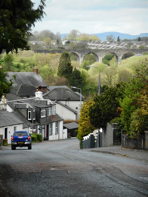
Image: © Richard Sutcliffe Taken: 5 May 2023
A zoomed view to houses on Loudoun Street and with the Category B listed Annick Water viaduct https://portal.historicenvironment.scot/designation/LB41074 in the distance.
Images are licensed for reuse under creativecommons.org/licenses/by-sa/2.0
Image Location
Latitude
55.676038
Longitude
-4.509393