2008 : Lane to Priston
Introduction
The photograph on this page of 2008 : Lane to Priston by Maurice Pullin as part of the Geograph project.
The Geograph project started in 2005 with the aim of publishing, organising and preserving representative images for every square kilometre of Great Britain, Ireland and the Isle of Man.

There are currently over 7.5m images from over 14,400 individuals and you can help contribute to the project by visiting https://www.geograph.org.uk
2008 : Lane to Priston
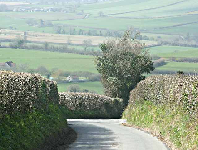
Image: © Maurice Pullin Taken: 1 Apr 2008
The lane to the right goes to the much geographed Nailwell. We can just see a corner of Priston on the other side of the valley. At the top of the picture another lane winds its way toward Marksbury.
Images are licensed for reuse under creativecommons.org/licenses/by-sa/2.0
Image Location
Latitude
51.340286
Longitude
-2.427331