Rubble revealed when the south reservoir was drained
Introduction
The photograph on this page of Rubble revealed when the south reservoir was drained by David Redwood as part of the Geograph project.
The Geograph project started in 2005 with the aim of publishing, organising and preserving representative images for every square kilometre of Great Britain, Ireland and the Isle of Man.

There are currently over 7.5m images from over 14,400 individuals and you can help contribute to the project by visiting https://www.geograph.org.uk
Rubble revealed when the south reservoir was drained
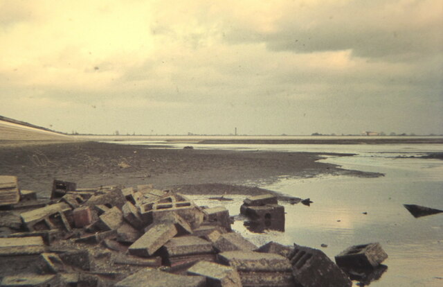
Image: © David Redwood Taken: 1 Jan 1972
In the 1970s it was possible to fish in the reservoirs, the Civil Service Angling Association having the rights dating back many years. This photograph was taken around 1970.
Images are licensed for reuse under creativecommons.org/licenses/by-sa/2.0
Image Location
Latitude
51.439351
Longitude
-0.491285