Ell Brook in springtime at Gorsley Common
Introduction
The photograph on this page of Ell Brook in springtime at Gorsley Common by Roger Davies as part of the Geograph project.
The Geograph project started in 2005 with the aim of publishing, organising and preserving representative images for every square kilometre of Great Britain, Ireland and the Isle of Man.

There are currently over 7.5m images from over 14,400 individuals and you can help contribute to the project by visiting https://www.geograph.org.uk
Ell Brook in springtime at Gorsley Common
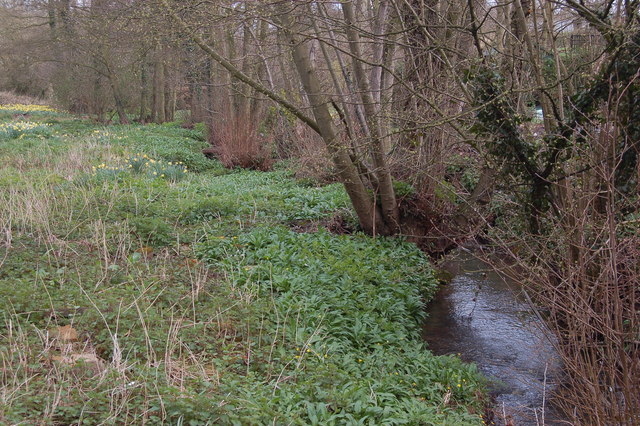
Image: © Roger Davies Taken: 1 Apr 2008
The Ell Brook rises near Linton and flows eastwards into the river Leadon (which in turn joins the river Severn near Maisemore just outside of Gloucester).
Images are licensed for reuse under creativecommons.org/licenses/by-sa/2.0
Image Location


Leaflet Map data © OpenStreetMap
Latitude
51.928135
Longitude
-2.475069