Hawsker Bottoms
Introduction
The photograph on this page of Hawsker Bottoms by Peter Church as part of the Geograph project.
The Geograph project started in 2005 with the aim of publishing, organising and preserving representative images for every square kilometre of Great Britain, Ireland and the Isle of Man.

There are currently over 7.5m images from over 14,400 individuals and you can help contribute to the project by visiting https://www.geograph.org.uk
Hawsker Bottoms
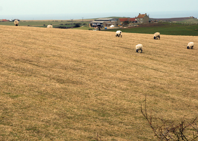
Image: © Peter Church Taken: 29 Mar 2008
"Hawsker Bottoms" is the name on the maps of the pasture between the disused railway line and Oakham beck which runs just beyond the farm as photographed.
Images are licensed for reuse under creativecommons.org/licenses/by-sa/2.0
Image Location


Leaflet Map data © OpenStreetMap
Latitude
54.457819
Longitude
-0.553522