Canal south east of Navigation Road
Introduction
The photograph on this page of Canal south east of Navigation Road by M J Roscoe as part of the Geograph project.
The Geograph project started in 2005 with the aim of publishing, organising and preserving representative images for every square kilometre of Great Britain, Ireland and the Isle of Man.

There are currently over 7.5m images from over 14,400 individuals and you can help contribute to the project by visiting https://www.geograph.org.uk
Canal south east of Navigation Road
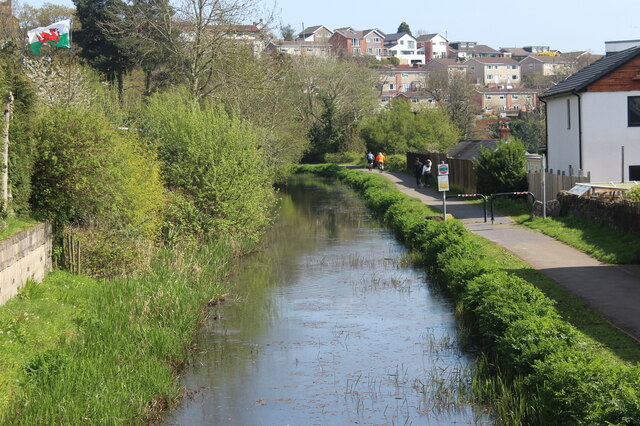
Image: © M J Roscoe Taken: 29 Apr 2023
Disused section of Crumlin Arm, the tow path is part of NCR 47.
Images are licensed for reuse under creativecommons.org/licenses/by-sa/2.0
Image Location
Latitude
51.614188
Longitude
-3.101046