Astley Bridge Mill
Introduction
The photograph on this page of Astley Bridge Mill by Chris Allen as part of the Geograph project.
The Geograph project started in 2005 with the aim of publishing, organising and preserving representative images for every square kilometre of Great Britain, Ireland and the Isle of Man.

There are currently over 7.5m images from over 14,400 individuals and you can help contribute to the project by visiting https://www.geograph.org.uk
Astley Bridge Mill
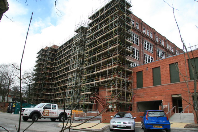
Image: © Chris Allen Taken: 30 Mar 2008
I think I missed some promising open land to one side but the light would have been wrong. This dreadful shot (over the fence with camera held above head blind) shows extensive scaffolding. Nice detailing is visible, especially at high level. The two storey block on the right is full length and was a normal feature of the big spinning mills as this was the preparation section (opening, blowing, carding etc)
Images are licensed for reuse under creativecommons.org/licenses/by-sa/2.0
Image Location
Latitude
53.605675
Longitude
-2.430222