Path descending Limer's Hill
Introduction
The photograph on this page of Path descending Limer's Hill by David Martin as part of the Geograph project.
The Geograph project started in 2005 with the aim of publishing, organising and preserving representative images for every square kilometre of Great Britain, Ireland and the Isle of Man.

There are currently over 7.5m images from over 14,400 individuals and you can help contribute to the project by visiting https://www.geograph.org.uk
Path descending Limer's Hill
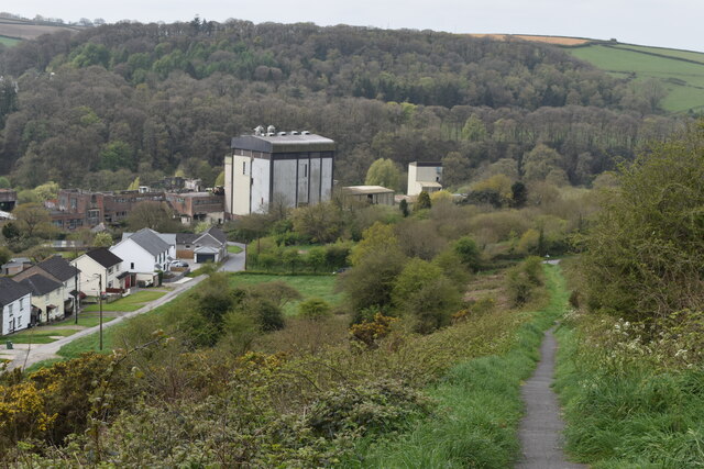
Image: © David Martin Taken: 26 Apr 2023
The tall building is part of the derelict Dairy Crest factory.
Images are licensed for reuse under creativecommons.org/licenses/by-sa/2.0
Image Location


Leaflet Map data © OpenStreetMap
Latitude
50.950749
Longitude
-4.152776