Towards Chetney Cottages
Introduction
The photograph on this page of Towards Chetney Cottages by Richard Dorrell as part of the Geograph project.
The Geograph project started in 2005 with the aim of publishing, organising and preserving representative images for every square kilometre of Great Britain, Ireland and the Isle of Man.

There are currently over 7.5m images from over 14,400 individuals and you can help contribute to the project by visiting https://www.geograph.org.uk
Towards Chetney Cottages
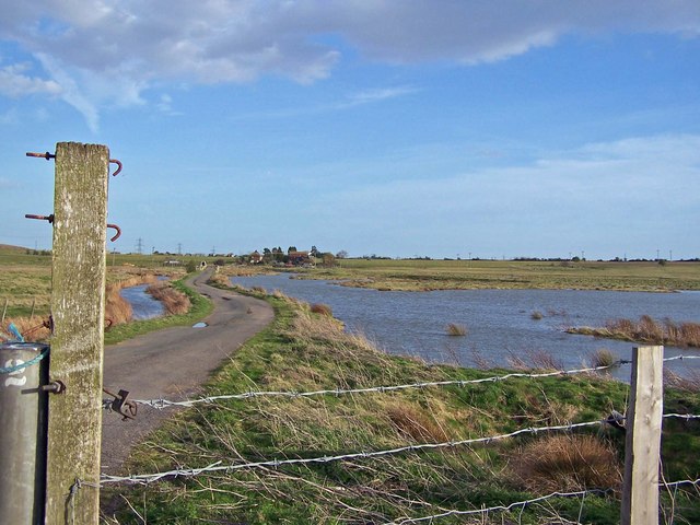
Image: © Richard Dorrell Taken: 1 Apr 2008
Taken from a gate in the track, Chetney Cottages are among the trees on the horizon. The water in the photograph is not shown on the Ordnance Survey map, so I presume it dries up in the summer.
Images are licensed for reuse under creativecommons.org/licenses/by-sa/2.0
Image Location
Latitude
51.389897
Longitude
0.723397