Stone on north bank of River Irthing west of Lanerton
Introduction
The photograph on this page of Stone on north bank of River Irthing west of Lanerton by Roger Templeman as part of the Geograph project.
The Geograph project started in 2005 with the aim of publishing, organising and preserving representative images for every square kilometre of Great Britain, Ireland and the Isle of Man.

There are currently over 7.5m images from over 14,400 individuals and you can help contribute to the project by visiting https://www.geograph.org.uk
Stone on north bank of River Irthing west of Lanerton
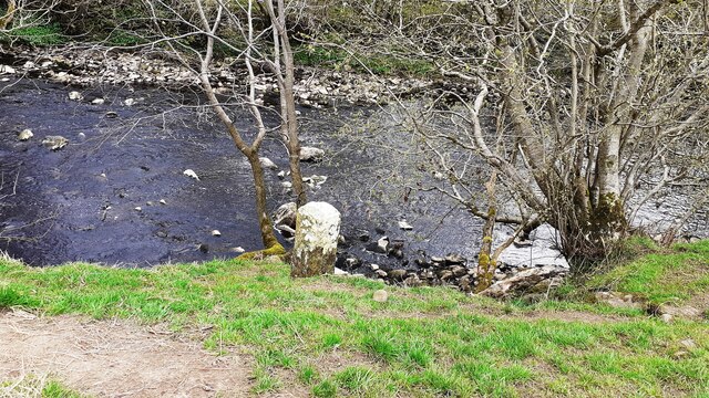
Image: © Roger Templeman Taken: 26 Apr 2023
The stone possibly marks the boundary of the parishes of Waterhead and Upper Denton: the boundary runs along the middle of the river.
Images are licensed for reuse under creativecommons.org/licenses/by-sa/2.0
Image Location
Latitude
54.976085
Longitude
-2.630047