Bracken's Lane, Allenton, Derby
Introduction
The photograph on this page of Bracken's Lane, Allenton, Derby by Christine Johnstone as part of the Geograph project.
The Geograph project started in 2005 with the aim of publishing, organising and preserving representative images for every square kilometre of Great Britain, Ireland and the Isle of Man.

There are currently over 7.5m images from over 14,400 individuals and you can help contribute to the project by visiting https://www.geograph.org.uk
Bracken's Lane, Allenton, Derby
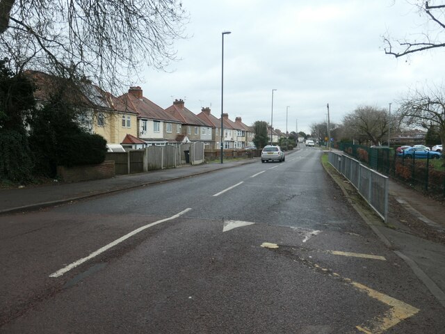
Image: © Christine Johnstone Taken: 16 Feb 2023
Named after Bracken's Farm which is shown on archived large-scale OS maps.
Images are licensed for reuse under creativecommons.org/licenses/by-sa/2.0
Image Location
Latitude
52.890006
Longitude
-1.444985