Croft House and Croft Cottage on SE side A69 at Low Row junction
Introduction
The photograph on this page of Croft House and Croft Cottage on SE side A69 at Low Row junction by Roger Templeman as part of the Geograph project.
The Geograph project started in 2005 with the aim of publishing, organising and preserving representative images for every square kilometre of Great Britain, Ireland and the Isle of Man.

There are currently over 7.5m images from over 14,400 individuals and you can help contribute to the project by visiting https://www.geograph.org.uk
Croft House and Croft Cottage on SE side A69 at Low Row junction
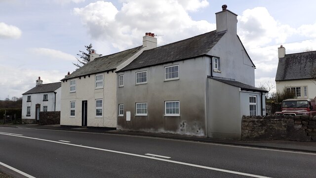
Image: © Roger Templeman Taken: 26 Apr 2023
This is the site of the Nether Denton toll house now demolished. The Ordnance Survey levelled a benchmark on the building at 531.475 feet above Liverpool Datum during the 1844/5 Carlisle to North Shields 1GL Survey. The surveyor's description was 'No. 49. Mark on West jamb of door of Nether Denton Toll-house ; 2.00 ft. above surface'
Images are licensed for reuse under creativecommons.org/licenses/by-sa/2.0
Image Location
Latitude
54.956575
Longitude
-2.648949