Former RAF Locking
Introduction
The photograph on this page of Former RAF Locking by s as part of the Geograph project.
The Geograph project started in 2005 with the aim of publishing, organising and preserving representative images for every square kilometre of Great Britain, Ireland and the Isle of Man.

There are currently over 7.5m images from over 14,400 individuals and you can help contribute to the project by visiting https://www.geograph.org.uk
Former RAF Locking
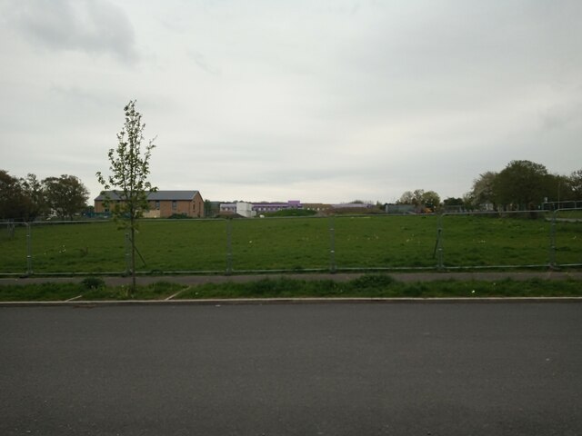
Image: © s Taken: 26 Apr 2023
The building on the left, in the background, is the GP surgery, which is currently in construction. The other building in the background is the new Winterstoke Hundred Academy secondary school, which is also in construction. The photo was taken from Russell Road.
Images are licensed for reuse under creativecommons.org/licenses/by-sa/2.0
Image Location
Latitude
51.340903
Longitude
-2.908751