Yellow Ayes Farm on the Ilfracombe Road
Introduction
The photograph on this page of Yellow Ayes Farm on the Ilfracombe Road by Roger A Smith as part of the Geograph project.
The Geograph project started in 2005 with the aim of publishing, organising and preserving representative images for every square kilometre of Great Britain, Ireland and the Isle of Man.

There are currently over 7.5m images from over 14,400 individuals and you can help contribute to the project by visiting https://www.geograph.org.uk
Yellow Ayes Farm on the Ilfracombe Road
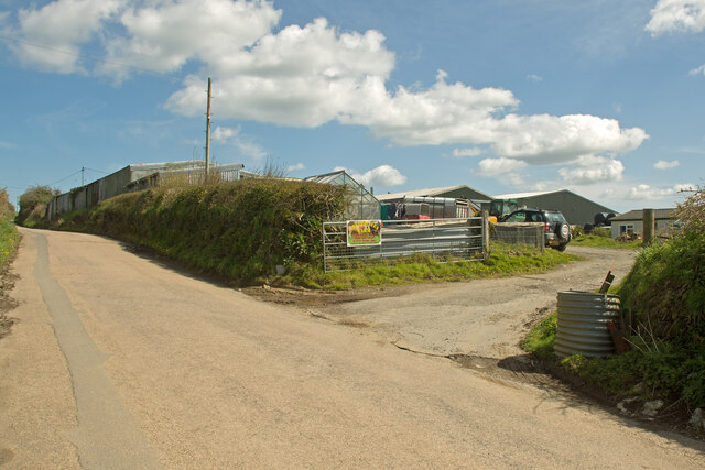
Image: © Roger A Smith Taken: 25 Apr 2023
On earlier maps this was entered as 16 Acre Farm. The nearby dwelling was referred to as Yelloways. On a 1945 RAF aerial map the farm doesn't exist.
Images are licensed for reuse under creativecommons.org/licenses/by-sa/2.0
Image Location
Latitude
51.17445
Longitude
-4.11547