St Mary's yard
Introduction
The photograph on this page of St Mary's yard by Neil Owen as part of the Geograph project.
The Geograph project started in 2005 with the aim of publishing, organising and preserving representative images for every square kilometre of Great Britain, Ireland and the Isle of Man.

There are currently over 7.5m images from over 14,400 individuals and you can help contribute to the project by visiting https://www.geograph.org.uk
St Mary's yard
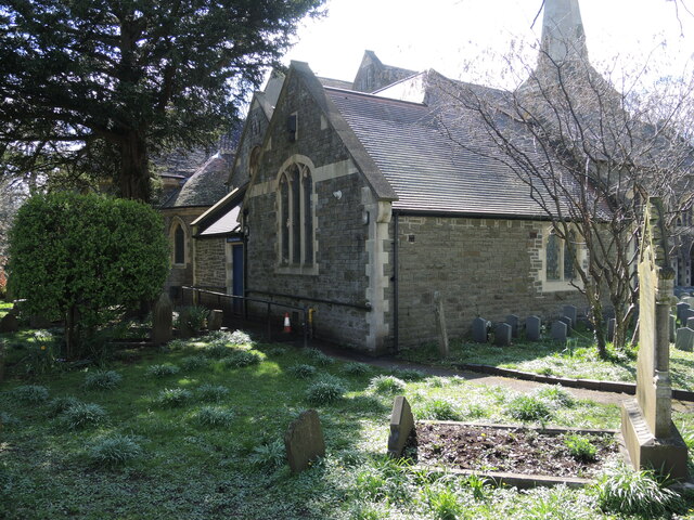
Image: © Neil Owen Taken: 3 Apr 2023
A corner of the church grounds and part of the building that was added after WWII. A benchmark has been cut into the nearest part of the stonework - see Image
Images are licensed for reuse under creativecommons.org/licenses/by-sa/2.0
Image Location
Latitude
51.481935
Longitude
-2.530034