Development site at Fisher's Pond
Introduction
The photograph on this page of Development site at Fisher's Pond by Peter Facey as part of the Geograph project.
The Geograph project started in 2005 with the aim of publishing, organising and preserving representative images for every square kilometre of Great Britain, Ireland and the Isle of Man.

There are currently over 7.5m images from over 14,400 individuals and you can help contribute to the project by visiting https://www.geograph.org.uk
Development site at Fisher's Pond
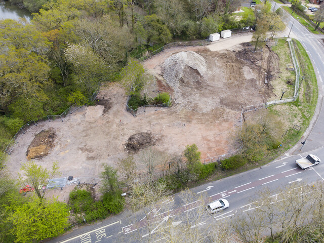
Image: © Peter Facey Taken: 26 Apr 2023
Drone photo. Showing the site after the demolition of the former Queen's Head pub.
Images are licensed for reuse under creativecommons.org/licenses/by-sa/2.0
Image Location
Latitude
50.985708
Longitude
-1.305434