Chudleigh Knighton Village Hall and pub
Introduction
The photograph on this page of Chudleigh Knighton Village Hall and pub by paul dickson as part of the Geograph project.
The Geograph project started in 2005 with the aim of publishing, organising and preserving representative images for every square kilometre of Great Britain, Ireland and the Isle of Man.

There are currently over 7.5m images from over 14,400 individuals and you can help contribute to the project by visiting https://www.geograph.org.uk
Chudleigh Knighton Village Hall and pub
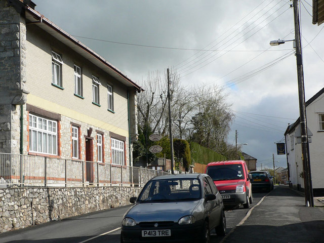
Image: © paul dickson Taken: 31 Mar 2008
Looking along the road that leads to Chudleigh or Newton Abbot, the village hall and Chudleigh Knighton pre-school are on the left while "The Anchor" pub is on the right.
Images are licensed for reuse under creativecommons.org/licenses/by-sa/2.0
Image Location
Latitude
50.585446
Longitude
-3.630752