River bank footpath, Kerne Bridge
Introduction
The photograph on this page of River bank footpath, Kerne Bridge by Philip Halling as part of the Geograph project.
The Geograph project started in 2005 with the aim of publishing, organising and preserving representative images for every square kilometre of Great Britain, Ireland and the Isle of Man.

There are currently over 7.5m images from over 14,400 individuals and you can help contribute to the project by visiting https://www.geograph.org.uk
River bank footpath, Kerne Bridge
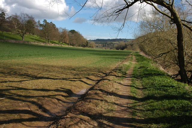
Image: © Philip Halling Taken: 30 Mar 2008
Footpath down the east bank of the River Wye downstream from Kerne Bridge. The B4234, which is to the left of this field, follows the course of river here as it negotiates a large bend. The spire of Ruardean church can be seen on the horizon in the background.
Images are licensed for reuse under creativecommons.org/licenses/by-sa/2.0
Image Location


Leaflet Map data © OpenStreetMap
Latitude
51.863017
Longitude
-2.5984