Cycleway near Bassingfield
Introduction
The photograph on this page of Cycleway near Bassingfield by Kate Jewell as part of the Geograph project.
The Geograph project started in 2005 with the aim of publishing, organising and preserving representative images for every square kilometre of Great Britain, Ireland and the Isle of Man.

There are currently over 7.5m images from over 14,400 individuals and you can help contribute to the project by visiting https://www.geograph.org.uk
Cycleway near Bassingfield
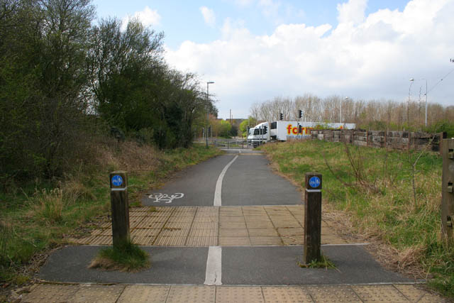
Image: © Kate Jewell Taken: 31 Mar 2008
This cycleway follows the old line of Bassingfield Lane. The road was diverted when the A52 Gamston Lings Bar Road was built to bypass West Bridgford and the southern suburbs of Nottingham. There is a traffic light controlled crossing across the dual carriageway.
Images are licensed for reuse under creativecommons.org/licenses/by-sa/2.0
Image Location
Latitude
52.927976
Longitude
-1.098484