Sandy Lane, Holme Pierrepont
Introduction
The photograph on this page of Sandy Lane, Holme Pierrepont by Kate Jewell as part of the Geograph project.
The Geograph project started in 2005 with the aim of publishing, organising and preserving representative images for every square kilometre of Great Britain, Ireland and the Isle of Man.

There are currently over 7.5m images from over 14,400 individuals and you can help contribute to the project by visiting https://www.geograph.org.uk
Sandy Lane, Holme Pierrepont
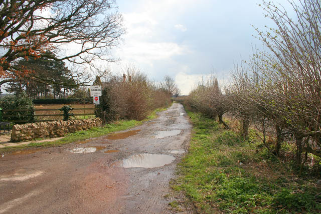
Image: © Kate Jewell Taken: 27 Mar 2008
This private farm road leads from the entrance to Holme Pierrepont Hall to the A52 opposite Holme House on Stragglethorpe Road.
Images are licensed for reuse under creativecommons.org/licenses/by-sa/2.0
Image Location


Leaflet Map data © OpenStreetMap
Latitude
52.943748
Longitude
-1.068691