North side of Portlethen Bay
Introduction
The photograph on this page of North side of Portlethen Bay by Peter Robinson as part of the Geograph project.
The Geograph project started in 2005 with the aim of publishing, organising and preserving representative images for every square kilometre of Great Britain, Ireland and the Isle of Man.

There are currently over 7.5m images from over 14,400 individuals and you can help contribute to the project by visiting https://www.geograph.org.uk
North side of Portlethen Bay
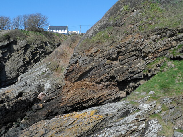
Image: © Peter Robinson Taken: 22 Apr 2023
Looking approximately west towards a steep inlet known locally as Camibeg (near the house). The rock type is schist, Dalradian sediments metamorphosed and folded during the Caledonian Orogeny.
Images are licensed for reuse under creativecommons.org/licenses/by-sa/2.0
Image Location
Latitude
57.057078
Longitude
-2.11077