Marden features [4]
Introduction
The photograph on this page of Marden features [4] by Michael Dibb as part of the Geograph project.
The Geograph project started in 2005 with the aim of publishing, organising and preserving representative images for every square kilometre of Great Britain, Ireland and the Isle of Man.
There are currently over 7.5m images from over 14,400 individuals and you can help contribute to the project by visiting https://www.geograph.org.uk

Image: © Michael Dibb Taken: 20 Apr 2023
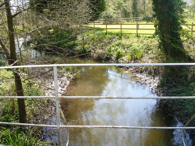
One of two branches of the River Avon, looking downstream. This branch has passed through Marden Mill. Seen from the bridge carrying The Street over the river. The gardens of The Millstream public house are on the right. Marden is a small village in Wiltshire, on the southern edge of the Vale of Pewsey, about 5½ miles southeast of Devizes and some 18½ miles northwest of Andover. Just north of the village, the Hatfield Earthworks are a large, irregular henge enclosure, within which lies a second Neolithic henge and mound, constructed around 2400 BC. The village was first mentioned in the Domesday Book of 1086. Originally an agricultural village, most working residents of Marden now commute.

