Murrays Road
Introduction
The photograph on this page of Murrays Road by Richard Sutcliffe as part of the Geograph project.
The Geograph project started in 2005 with the aim of publishing, organising and preserving representative images for every square kilometre of Great Britain, Ireland and the Isle of Man.

There are currently over 7.5m images from over 14,400 individuals and you can help contribute to the project by visiting https://www.geograph.org.uk
Murrays Road
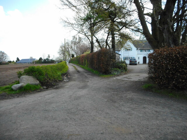
Image: © Richard Sutcliffe Taken: 19 Apr 2023
The narrow road leads to Murrays, which is a long-derelict farm close to the shore of the Clyde. The house on the right is Longbarn.
Images are licensed for reuse under creativecommons.org/licenses/by-sa/2.0
Image Location
Latitude
55.964326
Longitude
-4.665843