Tanfield Lea Road
Introduction
The photograph on this page of Tanfield Lea Road by Graham Robson as part of the Geograph project.
The Geograph project started in 2005 with the aim of publishing, organising and preserving representative images for every square kilometre of Great Britain, Ireland and the Isle of Man.

There are currently over 7.5m images from over 14,400 individuals and you can help contribute to the project by visiting https://www.geograph.org.uk
Tanfield Lea Road
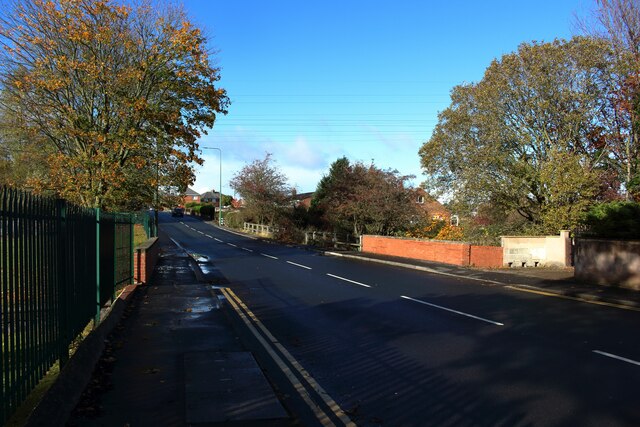
Image: © Graham Robson Taken: 28 Oct 2018
Tanfield Lea Road's crossing over Houghall Burn can be identified by the brick abutments on either side of the road.
Images are licensed for reuse under creativecommons.org/licenses/by-sa/2.0
Image Location
Latitude
54.878518
Longitude
-1.707435