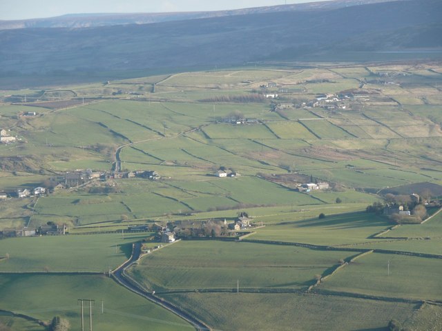
Upper Holme, Slaithwaite
Introduction
The photograph on this page of Upper Holme, Slaithwaite by Humphrey Bolton as part of the Geograph project.
The Geograph project started in 2005 with the aim of publishing, organising and preserving representative images for every square kilometre of Great Britain, Ireland and the Isle of Man.
There are currently over 7.5m images from over 14,400 individuals and you can help contribute to the project by visiting https://www.geograph.org.uk

Image: © Humphrey Bolton Taken: 27 Mar 2008
North Lane climbs up to Upper Holme, the subject position. A lane runs through it up the ridge, with Lower Holme to the left and Haw Cote to the right. Beyond Upper Holme, 850m as the crow flies is out of sight – the Colne valley. The distant view is of Lingards. Lingards Road climbs the hillside passing a tall building that is 'School' on the 1960s six inch map, but a 'Place of worship' on the modern map. This is a hamlet optimistically called Hill Top, but there is more climbing until a loose collection of houses and farms is reached on Chain Road, the B6107.

