Old Mugdock Road
Introduction
The photograph on this page of Old Mugdock Road by Richard Sutcliffe as part of the Geograph project.
The Geograph project started in 2005 with the aim of publishing, organising and preserving representative images for every square kilometre of Great Britain, Ireland and the Isle of Man.

There are currently over 7.5m images from over 14,400 individuals and you can help contribute to the project by visiting https://www.geograph.org.uk
Old Mugdock Road
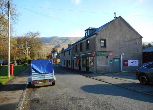
Image: © Richard Sutcliffe Taken: 18 Apr 2023
Looking towards Dumbrock Road. On the right Greens of Strathblane has recently replaced the former Co-op store.
Images are licensed for reuse under creativecommons.org/licenses/by-sa/2.0
Image Location
Latitude
55.983982
Longitude
-4.306466