Spot the boundary
Introduction
The photograph on this page of Spot the boundary by Graham Horn as part of the Geograph project.
The Geograph project started in 2005 with the aim of publishing, organising and preserving representative images for every square kilometre of Great Britain, Ireland and the Isle of Man.

There are currently over 7.5m images from over 14,400 individuals and you can help contribute to the project by visiting https://www.geograph.org.uk
Spot the boundary
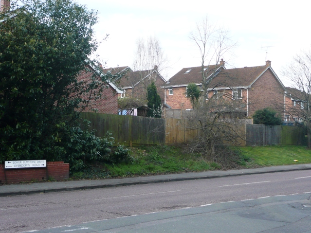
Image: © Graham Horn Taken: 30 Mar 2008
The boundary of West Berkshire District and Reading Borough crosses the road here. Lower Elmstone Drive and Overdown Road are the two main distributor roads through the area, with the houses in a maze of cul-de-sacs behind.
Images are licensed for reuse under creativecommons.org/licenses/by-sa/2.0
Image Location
Latitude
51.463896
Longitude
-1.048014