Overdown Road/Dark Lane
Introduction
The photograph on this page of Overdown Road/Dark Lane by Graham Horn as part of the Geograph project.
The Geograph project started in 2005 with the aim of publishing, organising and preserving representative images for every square kilometre of Great Britain, Ireland and the Isle of Man.

There are currently over 7.5m images from over 14,400 individuals and you can help contribute to the project by visiting https://www.geograph.org.uk
Overdown Road/Dark Lane
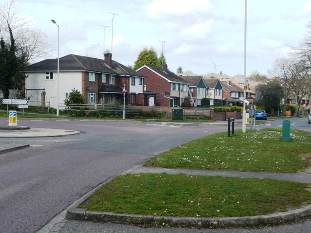
Image: © Graham Horn Taken: 30 Mar 2008
Overdown Road climbs gradually from Oxford Road to reach this roundabout. Here two bus services split, one continuing along Westwood Glen where I am standing, the other going off to the left up Dark Lane into the next square. Deepest 1970s and 1980s suburbia.
Images are licensed for reuse under creativecommons.org/licenses/by-sa/2.0
Image Location
Latitude
51.465607
Longitude
-1.048267