Capel Degwel, St. Dogmael's
Introduction
The photograph on this page of Capel Degwel, St. Dogmael's by N Scott as part of the Geograph project.
The Geograph project started in 2005 with the aim of publishing, organising and preserving representative images for every square kilometre of Great Britain, Ireland and the Isle of Man.

There are currently over 7.5m images from over 14,400 individuals and you can help contribute to the project by visiting https://www.geograph.org.uk
Capel Degwel, St. Dogmael's
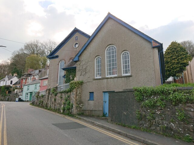
Image: © N Scott Taken: 18 Apr 2023
The wall in front of the chapel bore an Ordnance Survey benchmark where it joins the angle of the chapel: Height: 20.342m OD (Newlyn). Mark verified by the Ordnance Survey in 1954. Description: WALL JUNC CAPEL DEGWEL W SIDE RD. 0.5m above ground. 3rd Order BM. SN 1628 4645 From the South-west: Image
Images are licensed for reuse under creativecommons.org/licenses/by-sa/2.0
Image Location


Leaflet Map data © OpenStreetMap
Latitude
52.085829
Longitude
-4.682867