Approaching Coleford
Introduction
The photograph on this page of Approaching Coleford by Graham Horn as part of the Geograph project.
The Geograph project started in 2005 with the aim of publishing, organising and preserving representative images for every square kilometre of Great Britain, Ireland and the Isle of Man.

There are currently over 7.5m images from over 14,400 individuals and you can help contribute to the project by visiting https://www.geograph.org.uk
Approaching Coleford
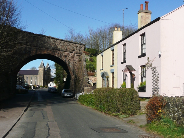
Image: © Graham Horn Taken: 27 Mar 2008
This is the lane from Whitecliff, Newland Street, going under the former Monmouth to Coleford railway line.
Images are licensed for reuse under creativecommons.org/licenses/by-sa/2.0
Image Location
Latitude
51.791782
Longitude
-2.6208