Rebuilding at Whitecliff
Introduction
The photograph on this page of Rebuilding at Whitecliff by Graham Horn as part of the Geograph project.
The Geograph project started in 2005 with the aim of publishing, organising and preserving representative images for every square kilometre of Great Britain, Ireland and the Isle of Man.

There are currently over 7.5m images from over 14,400 individuals and you can help contribute to the project by visiting https://www.geograph.org.uk
Rebuilding at Whitecliff
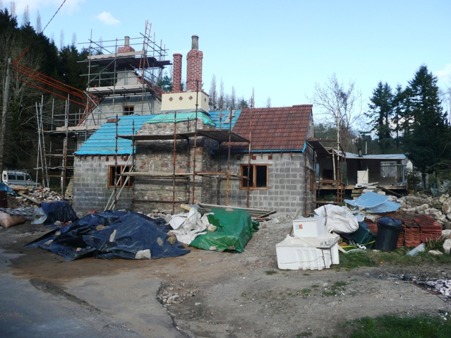
Image: © Graham Horn Taken: 27 Mar 2008
Most of this looks new, but old maps show a building on this site. The completed building has been photographed by Philip Halling Image]
Images are licensed for reuse under creativecommons.org/licenses/by-sa/2.0
Image Location
Latitude
51.785971
Longitude
-2.631448