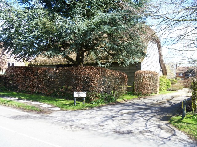
Chirton buildings [2]
Introduction
The photograph on this page of Chirton buildings [2] by Michael Dibb as part of the Geograph project.
The Geograph project started in 2005 with the aim of publishing, organising and preserving representative images for every square kilometre of Great Britain, Ireland and the Isle of Man.
There are currently over 7.5m images from over 14,400 individuals and you can help contribute to the project by visiting https://www.geograph.org.uk

Image: © Michael Dibb Taken: 7 Apr 2023
This barn at Chirton Farm, The Street, was built in the 18th century. Timber framed and weatherboarded under a thatch roof. There are four bays with cart doors in the 2nd bay from the north. Inside there are posts with straight braces to tie beams. Listed, grade II, with details at: https://historicengland.org.uk/listing/the-list/list-entry/1284592 Chirton is a village in Wiltshire, on the southern edge of the Vale of Pewsey, about 5 miles southeast of Devizes and some 19 miles northwest of Andover. The name Chirton means 'farm by the Church' and there is still a working farm in the village. Originally an agricultural village, most working residents now commute.

