Sackery and Westborough
Introduction
The photograph on this page of Sackery and Westborough by Derek Harper as part of the Geograph project.
The Geograph project started in 2005 with the aim of publishing, organising and preserving representative images for every square kilometre of Great Britain, Ireland and the Isle of Man.

There are currently over 7.5m images from over 14,400 individuals and you can help contribute to the project by visiting https://www.geograph.org.uk
Sackery and Westborough
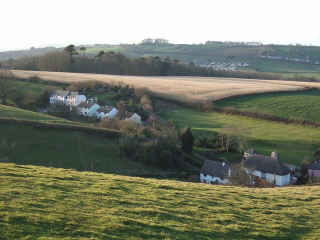
Image: © Derek Harper Taken: 26 Mar 2008
Sackery is the row of houses on the left, on the steep climb out of Combeinteignhead on a side lane to Lower Netherton. The thatched houses at Westborough also appear in Image, taken from the same spot. I think the very pale crop is Miscanthus. The woodland beyond shelters Netherton House. Wear Farm caravan site is on the far side of the Teign estuary.
Images are licensed for reuse under creativecommons.org/licenses/by-sa/2.0
Image Location
Latitude
50.534661
Longitude
-3.556328