Shepherds Way looking Northeast
Introduction
The photograph on this page of Shepherds Way looking Northeast by s as part of the Geograph project.
The Geograph project started in 2005 with the aim of publishing, organising and preserving representative images for every square kilometre of Great Britain, Ireland and the Isle of Man.

There are currently over 7.5m images from over 14,400 individuals and you can help contribute to the project by visiting https://www.geograph.org.uk
Shepherds Way looking Northeast
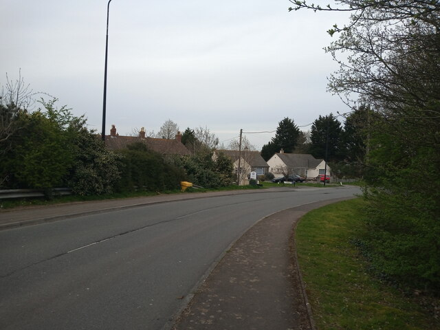
Image: © s Taken: 9 Apr 2023
This section of Shepherds Way was built in 1973, along with the motorway junction. The original route of this road is now covered with trees to the left. This road used to be the A370 until 1973.
Images are licensed for reuse under creativecommons.org/licenses/by-sa/2.0
Image Location
Latitude
51.359846
Longitude
-2.902074