Shaded track
Introduction
The photograph on this page of Shaded track by Evelyn Simak as part of the Geograph project.
The Geograph project started in 2005 with the aim of publishing, organising and preserving representative images for every square kilometre of Great Britain, Ireland and the Isle of Man.

There are currently over 7.5m images from over 14,400 individuals and you can help contribute to the project by visiting https://www.geograph.org.uk
Shaded track
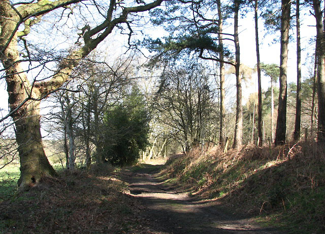
Image: © Evelyn Simak Taken: 31 Mar 2008
Hall Lane, here nothing more than a forest track, about to turn southeasterly towards The Street. The trees seen here at right grow on the grounds of Felthorpe estate > Image; cattle pastures are on the other side > Image The lane skirts the grounds of Felthorpe estate, turning off Mill Lane in northeasterly direction and connecting with The Street further to the southeast, forming a wide 'U'. Felthorpe estate was acquired by John Geldart around 1825. The property was occupied by the Fellowes family for most of the 19th century. From 1935 to 1958 it belonged to Sir Basil Mayhew. There is a barrow in the private woodland surrounding Felthorpe estate.
Images are licensed for reuse under creativecommons.org/licenses/by-sa/2.0
Image Location
Latitude
52.723725
Longitude
1.202738