Newsom Place, St Albans
Introduction
The photograph on this page of Newsom Place, St Albans by Robin Stott as part of the Geograph project.
The Geograph project started in 2005 with the aim of publishing, organising and preserving representative images for every square kilometre of Great Britain, Ireland and the Isle of Man.

There are currently over 7.5m images from over 14,400 individuals and you can help contribute to the project by visiting https://www.geograph.org.uk
Newsom Place, St Albans
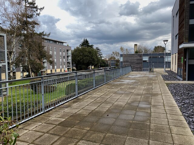
Image: © Robin Stott Taken: 6 Apr 2023
The entry from Manor Road. Old maps show that by the turn of the 19th and 20th centuries this area (bounded by Lemsford Road, Manor Road, St Peter's Road and Hatfield Road) was filling up with large detached houses with large gardens. Ian Capper refers to it in 2021 as the Oaklands College site Image : Newsom Place. His photo illustrates partial redevelopment that was completed in 2011. Construction works observed in 2023 suggest that even that is being replaced by blocks in the style shown above. Aerial photos show about 20 such blocks across the whole site.
Images are licensed for reuse under creativecommons.org/licenses/by-sa/2.0
Image Location
Latitude
51.754396
Longitude
-0.329117