Uplands
Introduction
The photograph on this page of Uplands by Simon Carey as part of the Geograph project.
The Geograph project started in 2005 with the aim of publishing, organising and preserving representative images for every square kilometre of Great Britain, Ireland and the Isle of Man.

There are currently over 7.5m images from over 14,400 individuals and you can help contribute to the project by visiting https://www.geograph.org.uk
Uplands
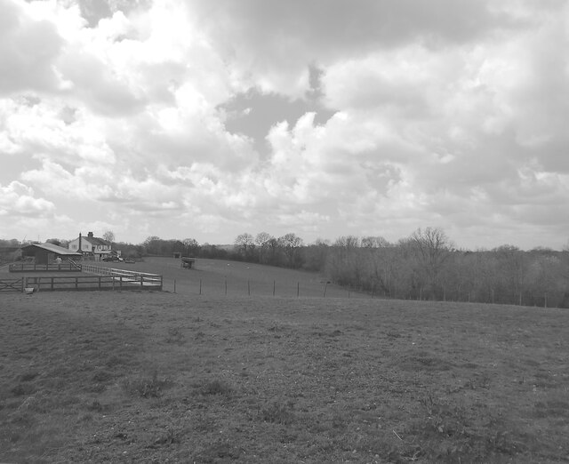
Image: © Simon Carey Taken: 13 Apr 2023
The name of the field according to Northiam's 1840 tithe map bounded by Adams lane to the east, Sempstead lane to the north and Uplands Shaw to the west. Uplands cottages are on the left.
Images are licensed for reuse under creativecommons.org/licenses/by-sa/2.0
Image Location


Leaflet Map data © OpenStreetMap
Latitude
50.98145
Longitude
0.577879