Brettell Lane, Amblecote, Stourbridge
Introduction
The photograph on this page of Brettell Lane, Amblecote, Stourbridge by P L Chadwick as part of the Geograph project.
The Geograph project started in 2005 with the aim of publishing, organising and preserving representative images for every square kilometre of Great Britain, Ireland and the Isle of Man.

There are currently over 7.5m images from over 14,400 individuals and you can help contribute to the project by visiting https://www.geograph.org.uk
Brettell Lane, Amblecote, Stourbridge
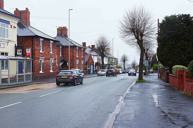
Image: © P L Chadwick Taken: 11 Apr 2023
Brettell Lane here forms part of the A461 road. It is passing The Starving Rascal public house on the left. Further along the road, and glimpsed in the far distance on the left, it passes The Swan, another public house.
Images are licensed for reuse under creativecommons.org/licenses/by-sa/2.0
Image Location
Latitude
52.472563
Longitude
-2.145847