Perryfield Way, West Hendon
Introduction
The photograph on this page of Perryfield Way, West Hendon by David Howard as part of the Geograph project.
The Geograph project started in 2005 with the aim of publishing, organising and preserving representative images for every square kilometre of Great Britain, Ireland and the Isle of Man.

There are currently over 7.5m images from over 14,400 individuals and you can help contribute to the project by visiting https://www.geograph.org.uk
Perryfield Way, West Hendon
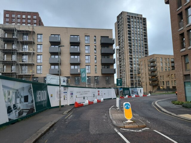
Image: © David Howard Taken: 12 Apr 2023
The western half of the small one way system which still confuses some new arrivals, including one who drove into the side of my car when in the wrong lane.
Images are licensed for reuse under creativecommons.org/licenses/by-sa/2.0
Image Location
Latitude
51.577306
Longitude
-0.240513