Shepherds Way looking East
Introduction
The photograph on this page of Shepherds Way looking East by s as part of the Geograph project.
The Geograph project started in 2005 with the aim of publishing, organising and preserving representative images for every square kilometre of Great Britain, Ireland and the Isle of Man.

There are currently over 7.5m images from over 14,400 individuals and you can help contribute to the project by visiting https://www.geograph.org.uk
Shepherds Way looking East
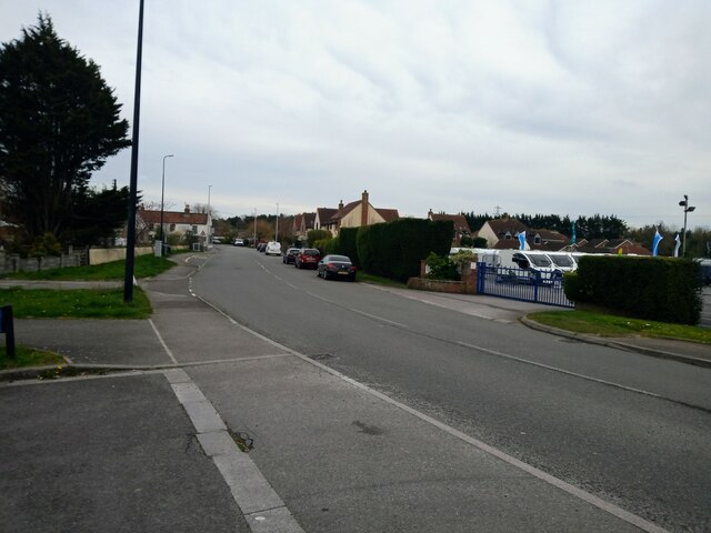
Image: © s Taken: 9 Apr 2023
The white building on the left in the background is the Woolpack Inn, which first appears on the 1844 Ordnance Survey Map. On the right is Davan Caravans which was built in 1982. Behind that are houses that were built in 2003 on a former orchard.
Images are licensed for reuse under creativecommons.org/licenses/by-sa/2.0
Image Location
Latitude
51.359837
Longitude
-2.902074