The A420 between Warmley and Bridgeyate
Introduction
The photograph on this page of The A420 between Warmley and Bridgeyate by HelenK as part of the Geograph project.
The Geograph project started in 2005 with the aim of publishing, organising and preserving representative images for every square kilometre of Great Britain, Ireland and the Isle of Man.

There are currently over 7.5m images from over 14,400 individuals and you can help contribute to the project by visiting https://www.geograph.org.uk
The A420 between Warmley and Bridgeyate
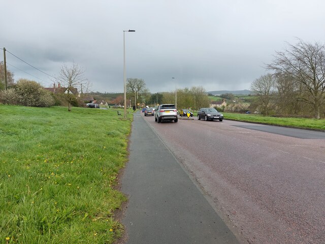
Image: © HelenK Taken: 12 Apr 2023
The eastern fringe of Warmley, just behind the photographer, feels like the edge of the Bristol conurbation; ahead there is some ribbon development along the A420 through Bridgeyate and Wick, but Bridgeyate Common, on the right of the road, is a natural boundary. The nearest building on the left of the road is The White Harte pub. https://thewhitehartepub.co.uk/
Images are licensed for reuse under creativecommons.org/licenses/by-sa/2.0
Image Location
Latitude
51.457324
Longitude
-2.460087