Land at Aerodrome Road & Elvington Lane
Introduction
The photograph on this page of Land at Aerodrome Road & Elvington Lane by John Baker as part of the Geograph project.
The Geograph project started in 2005 with the aim of publishing, organising and preserving representative images for every square kilometre of Great Britain, Ireland and the Isle of Man.

There are currently over 7.5m images from over 14,400 individuals and you can help contribute to the project by visiting https://www.geograph.org.uk
Land at Aerodrome Road & Elvington Lane
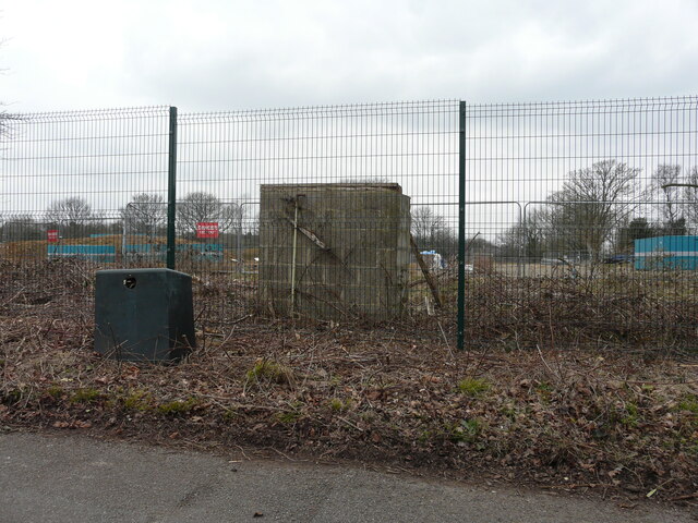
Image: © John Baker Taken: 5 Mar 2023
Viewed from Elvington Lane, there is a proposal to build 110 houses on this derelict site, where a former officers mess once stood.
Images are licensed for reuse under creativecommons.org/licenses/by-sa/2.0
Image Location
Latitude
51.112783
Longitude
1.149608