Footpath onto former Nottingham Canal towpath
Introduction
The photograph on this page of Footpath onto former Nottingham Canal towpath by David Martin as part of the Geograph project.
The Geograph project started in 2005 with the aim of publishing, organising and preserving representative images for every square kilometre of Great Britain, Ireland and the Isle of Man.

There are currently over 7.5m images from over 14,400 individuals and you can help contribute to the project by visiting https://www.geograph.org.uk
Footpath onto former Nottingham Canal towpath
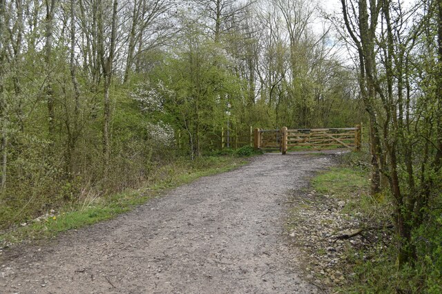
Image: © David Martin Taken: 10 Apr 2023
The path leads from the A6096, across the former route of the canal and on to Bennerley Viaduct (behind the photographer).
Images are licensed for reuse under creativecommons.org/licenses/by-sa/2.0
Image Location
Latitude
52.992037
Longitude
-1.292763