Old Track to Mill of Pitcaple
Introduction
The photograph on this page of Old Track to Mill of Pitcaple by Anne Burgess as part of the Geograph project.
The Geograph project started in 2005 with the aim of publishing, organising and preserving representative images for every square kilometre of Great Britain, Ireland and the Isle of Man.

There are currently over 7.5m images from over 14,400 individuals and you can help contribute to the project by visiting https://www.geograph.org.uk
Old Track to Mill of Pitcaple
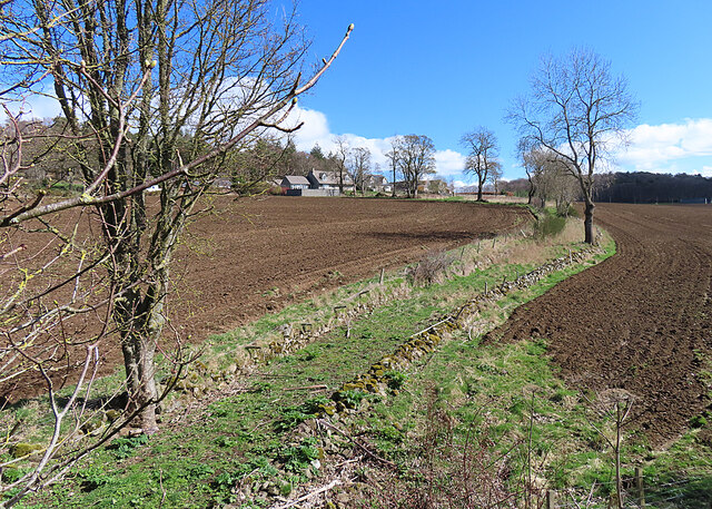
Image: © Anne Burgess Taken: 10 Apr 2023
The track winds downhill from Mill of Pitcaple and passes through a gap in the railway embankment where there used to be an overbridge. It doesn't look as if it is musch used now.
Images are licensed for reuse under creativecommons.org/licenses/by-sa/2.0
Image Location
Latitude
57.323492
Longitude
-2.444843