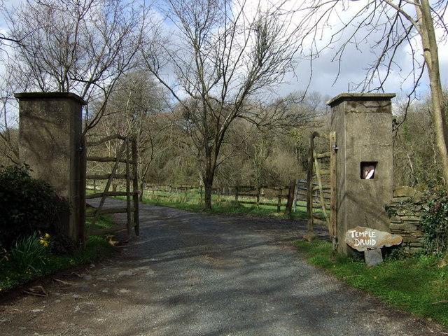
Gateway to Temple Druid
Introduction
The photograph on this page of Gateway to Temple Druid by Natasha Ceridwen de Chroustchoff as part of the Geograph project.
The Geograph project started in 2005 with the aim of publishing, organising and preserving representative images for every square kilometre of Great Britain, Ireland and the Isle of Man.
There are currently over 7.5m images from over 14,400 individuals and you can help contribute to the project by visiting https://www.geograph.org.uk

Image: © Natasha Ceridwen de Chroustchoff Taken: 30 Mar 2008
Historic house although the present one is not the original. The name is not original either: in the late C18 a mansion was erected here on the site of an existing farm called Bwlch y Clawdd (Pass of the Embankment); the name Temple Druid was taken from the fine cromlech that was dismantled to make way for the new building. Contemporary antiquarian Richard Fenton deplored the utilization of its position for a dungheap and its stones for pigstyes!

