Cut Mark - Mill - Canker Lane - Huddersfield (c)
Introduction
The photograph on this page of Cut Mark - Mill - Canker Lane - Huddersfield (c) by Tez Exley as part of the Geograph project.
The Geograph project started in 2005 with the aim of publishing, organising and preserving representative images for every square kilometre of Great Britain, Ireland and the Isle of Man.

There are currently over 7.5m images from over 14,400 individuals and you can help contribute to the project by visiting https://www.geograph.org.uk
Cut Mark - Mill - Canker Lane - Huddersfield (c)
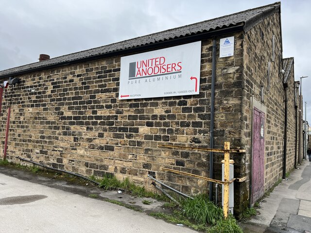
Image: © Tez Exley Taken: 1 Apr 2023
Partially obscured cut mark on side of Mill building on Canker Lane, Huddersfield
Images are licensed for reuse under creativecommons.org/licenses/by-sa/2.0
Image Location
Latitude
53.660243
Longitude
-1.767531